Oiti trail
This is a trail that leads to the beautiful plateau of Oiti. There are two routes that merge at some point. The trail does continue north beyond the ending point, but we haven’t passed it yet.
Note: This trail is passable only in summer months, from June till October, depending on the weather.
Route 1: 11 km
Route 2: 7,7 km
Altitude:
Start of route 1: 1111m
Lowest of route 1: 1111m
Start of route 2: 1198m
Lowest of route 2: 1198m
Highest: 1575m
End: 1550m
Road width:
Route 1: very wide
Route 2: normal at the begining, very wide after merging with route 1.
Diffuculty: Medium.
Route 1 start: 1.9 km south west from the exit of Nea Pavliani village
Route 2 start: 1.8 km east from the exit of Pyra village.
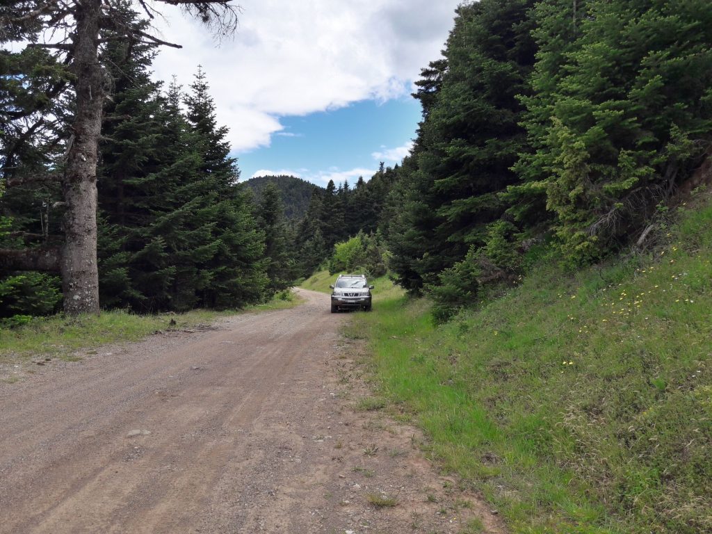
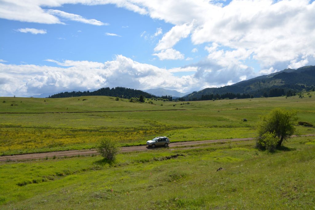
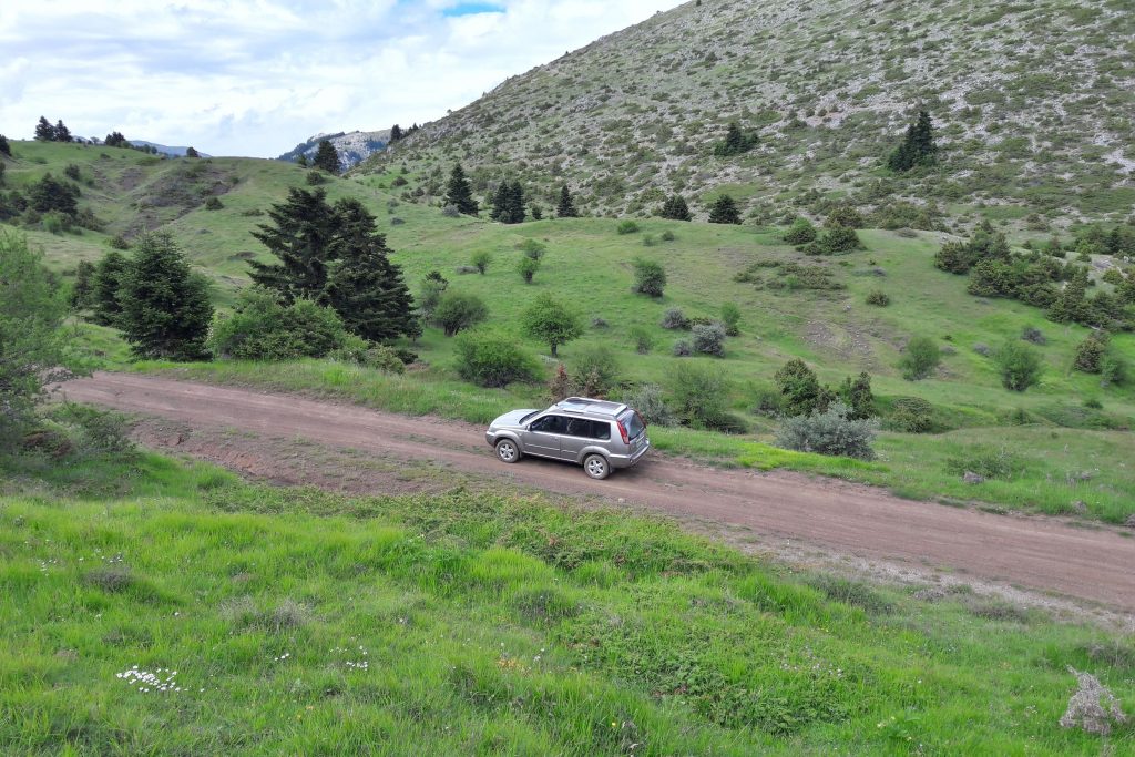
Photos of the trail:
Short in-car video clip from the trail:
map of route 1:
map of route 2:
Leave a Reply