Eastern Ziria, near Kefalari and Klimenti
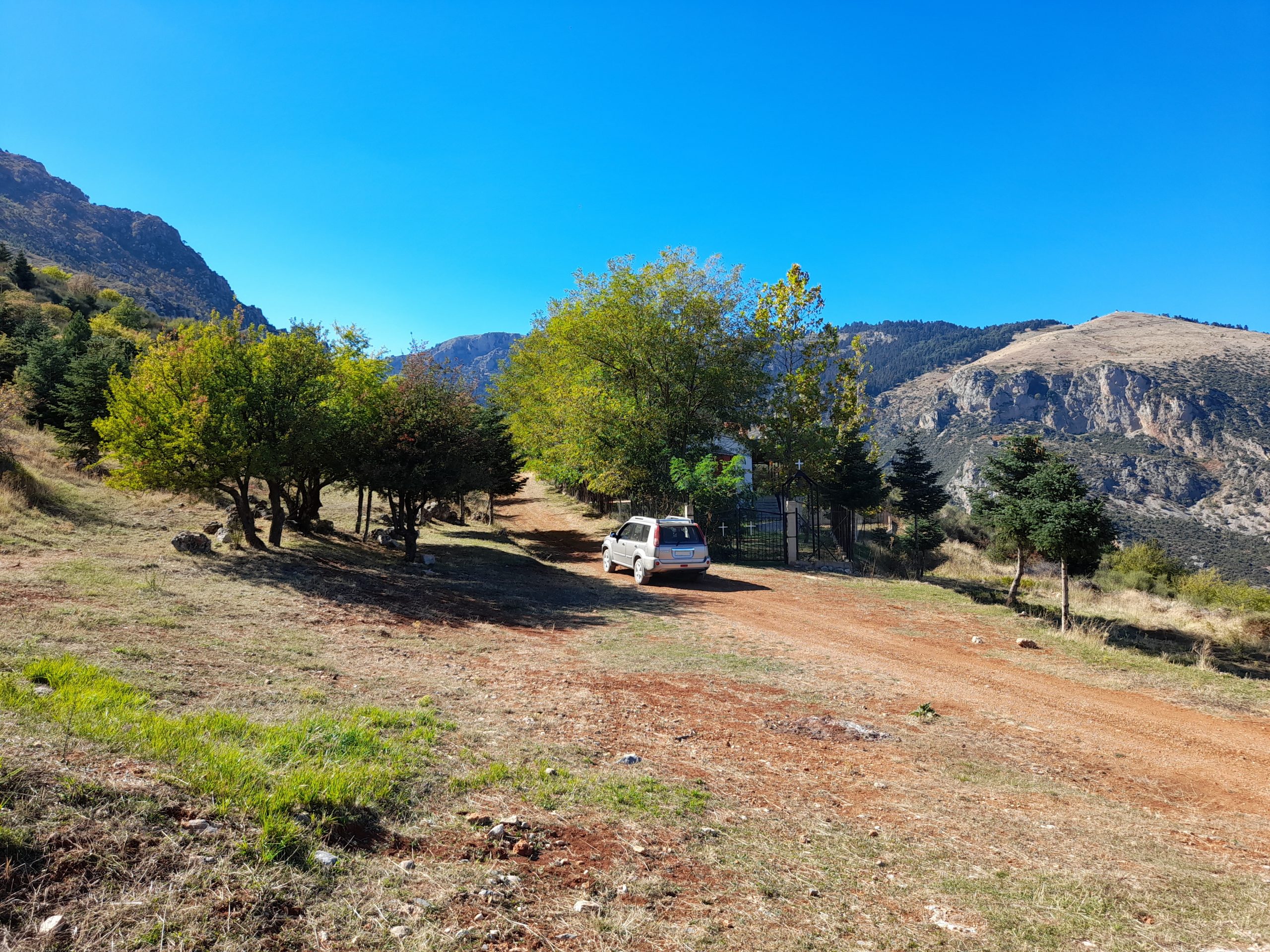
This is an easy trail, that starts from the village of Kefalari and goes through a fir forest to the chapel of Agia Triada. From there, you have three options. 1) to continue to the village of Manna 2) to make a more difficult detour via a very narrow trail that goes through dense forest 3) to return the same way for 2,5 km and then turn left towards the village of Klimenti. Some parts of this otherwise easy trail, become very muddy during winter
Main trail length ( map 1 & 4 ) : 23 km
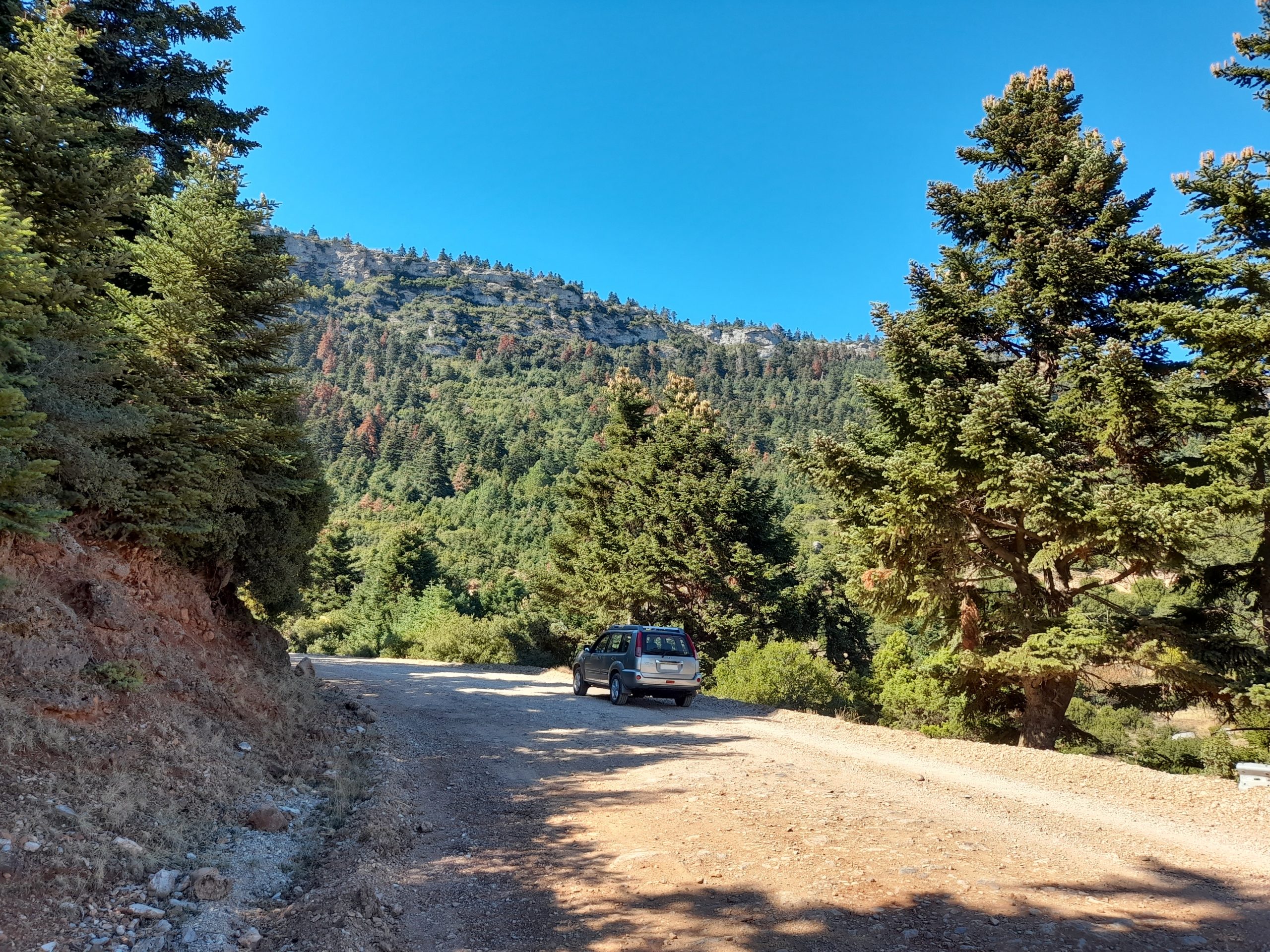
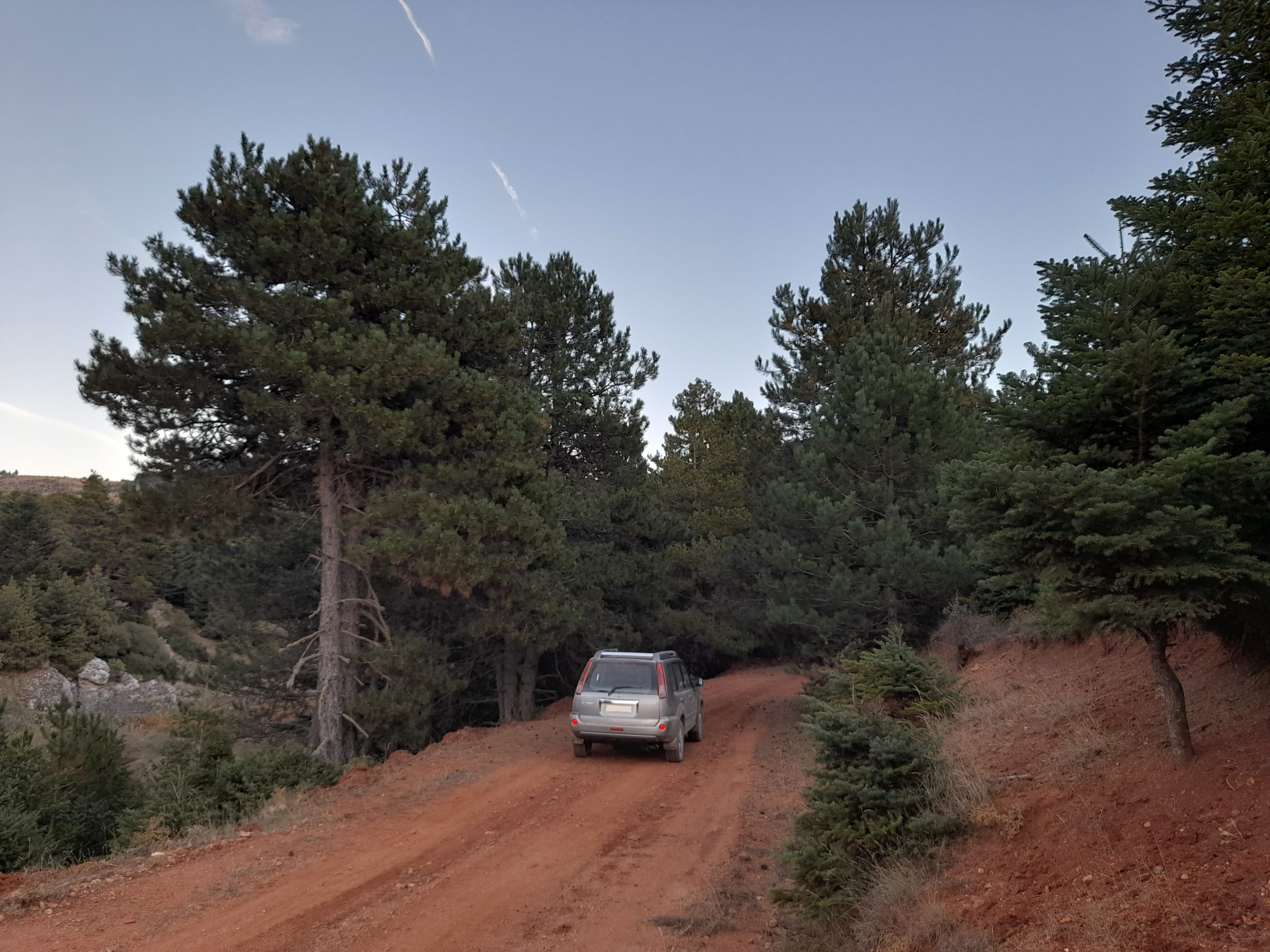
Trail width: Map 1 & 4: wide to very wide
Map 2 & 3: narrow to very narrow
Trail difficulty: Map 1, 2 & 4: easy when dry
map 3: difficult
Trail altitudes: Map 1: 731 the lowest at the start, 1.067 at the end, 1.180 the highest
Map 2: 905m near Manna, 1.067m at the chapel
Map 3: lowest at the start 1.067m, highest 1.275m, 1.174m at the end
Map 4: 1.067 at the start, 1.058 at the end, 1.180 the highest
Map 1: From Kefalari to the chapel
Map 2: from the chapel to Manna
Map 3: the more difficult detour. Google maps doesn’t show all this trail, so you have to arrive at the end and then continue straight for approximately 500m, as indicated at the picture. Note that at 3.6 km from the chapel, if you go right, it is a dead end after 2,5 km.
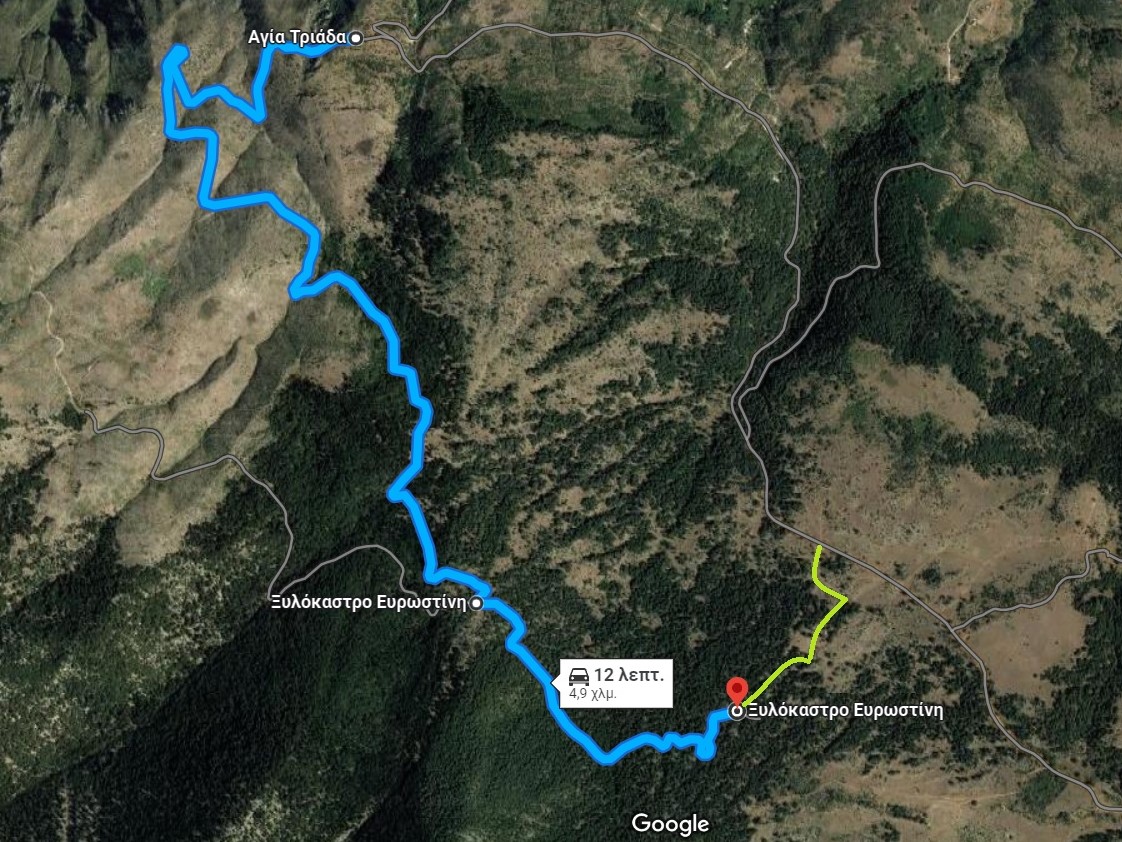
Map 4: from the chapel to Klimenti
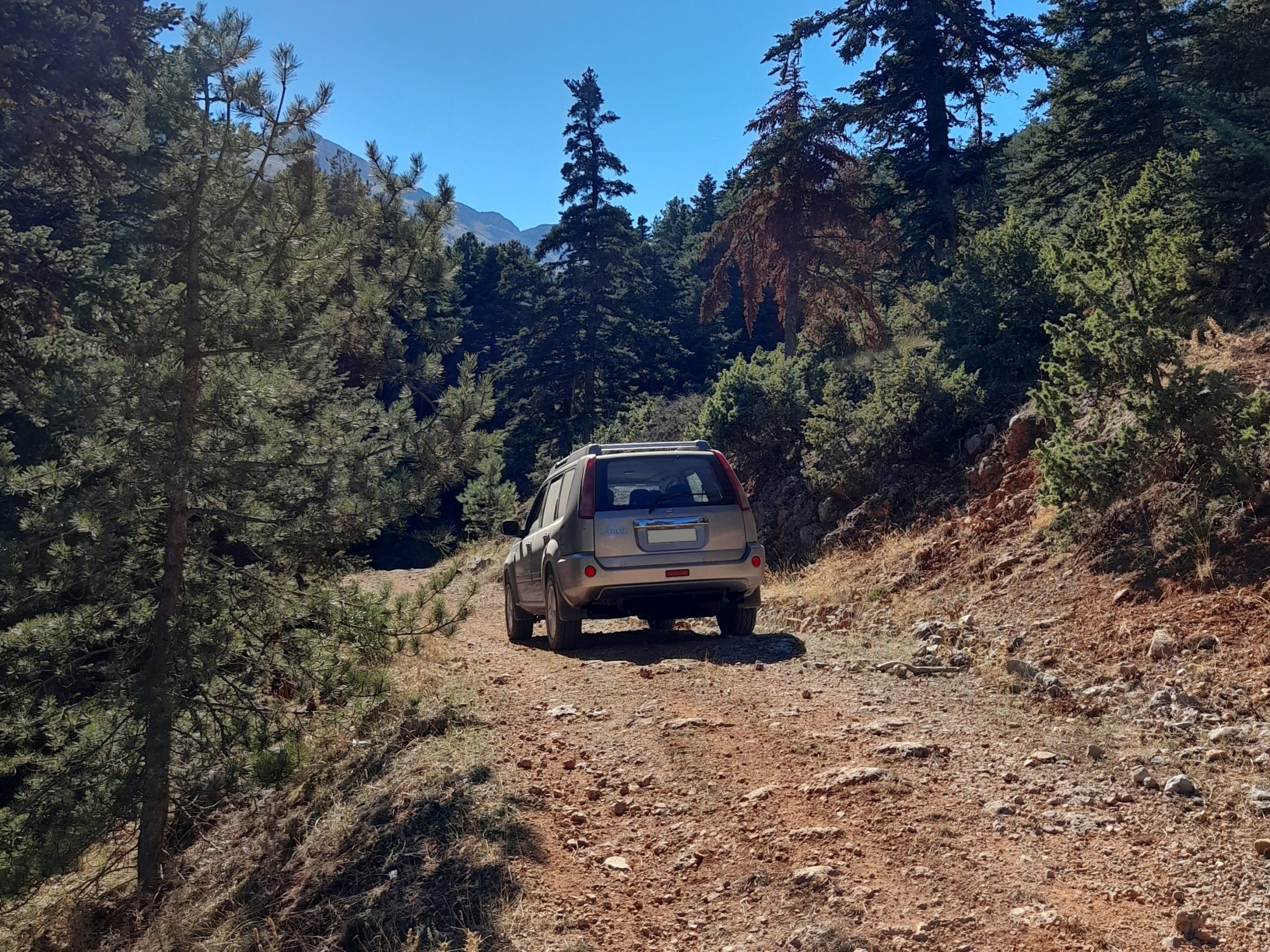
Photos from the trail:
In car video from the trail:
Leave a Reply