Oligirtos, from Kastania to Lafka
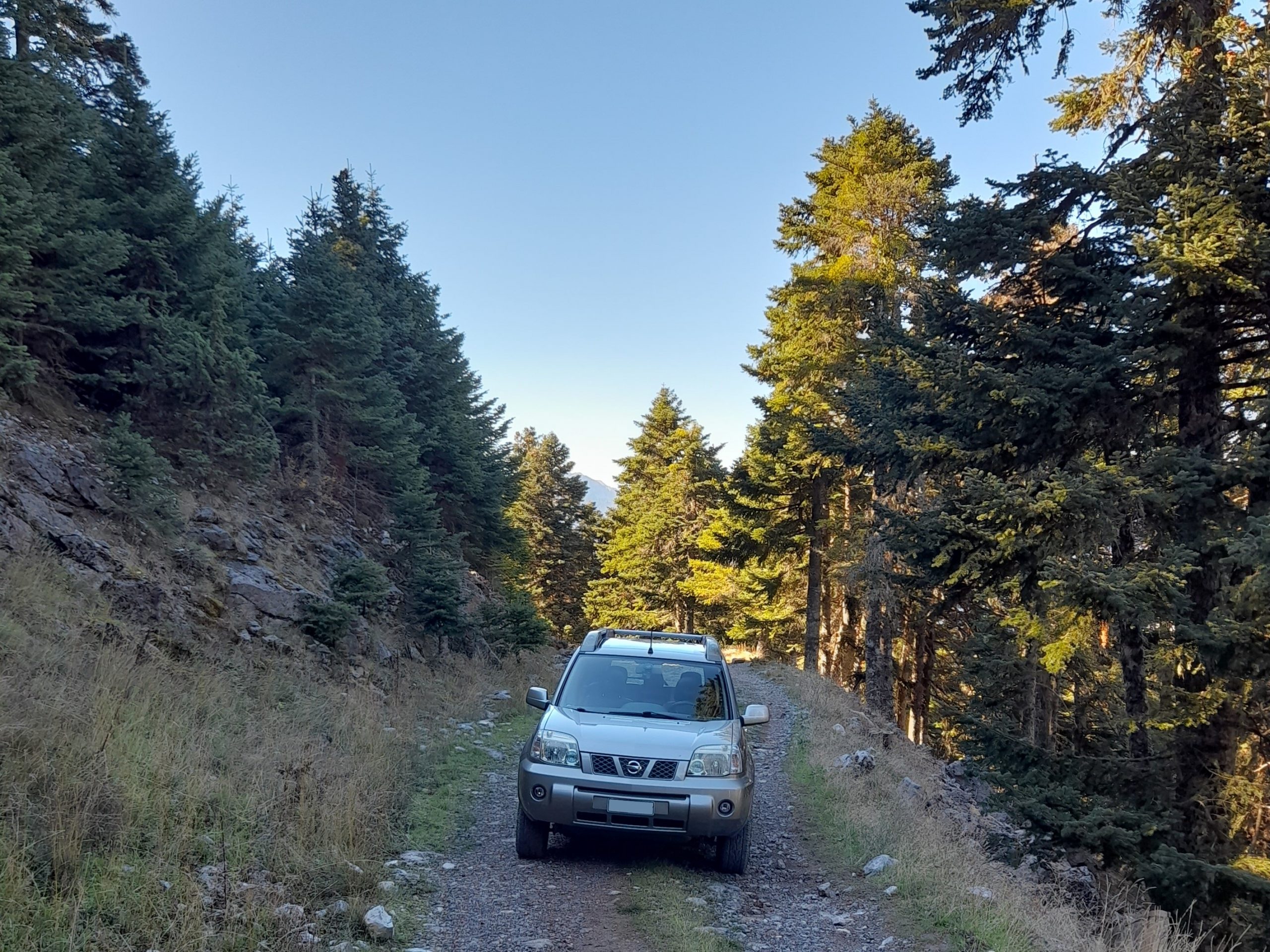
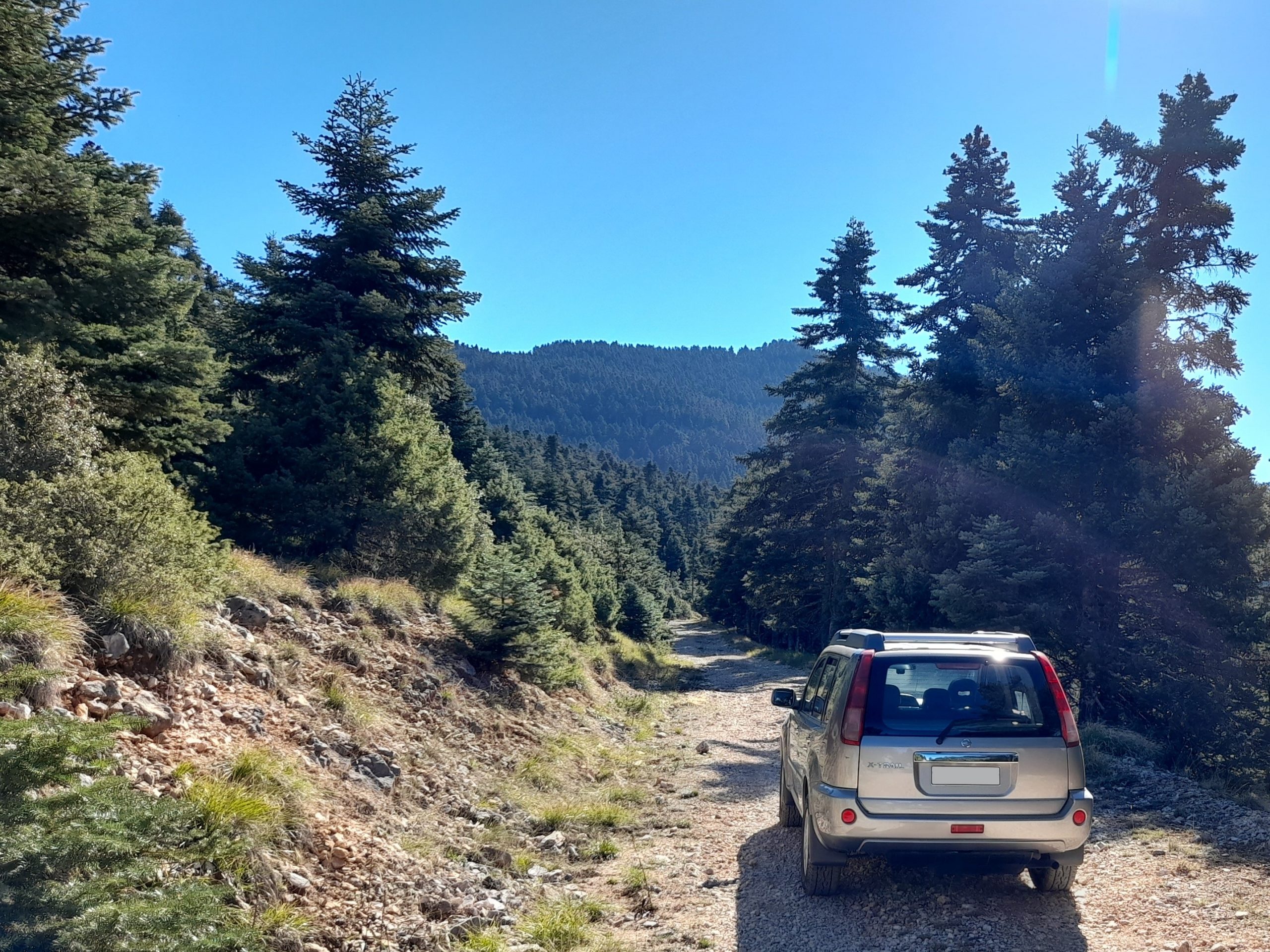
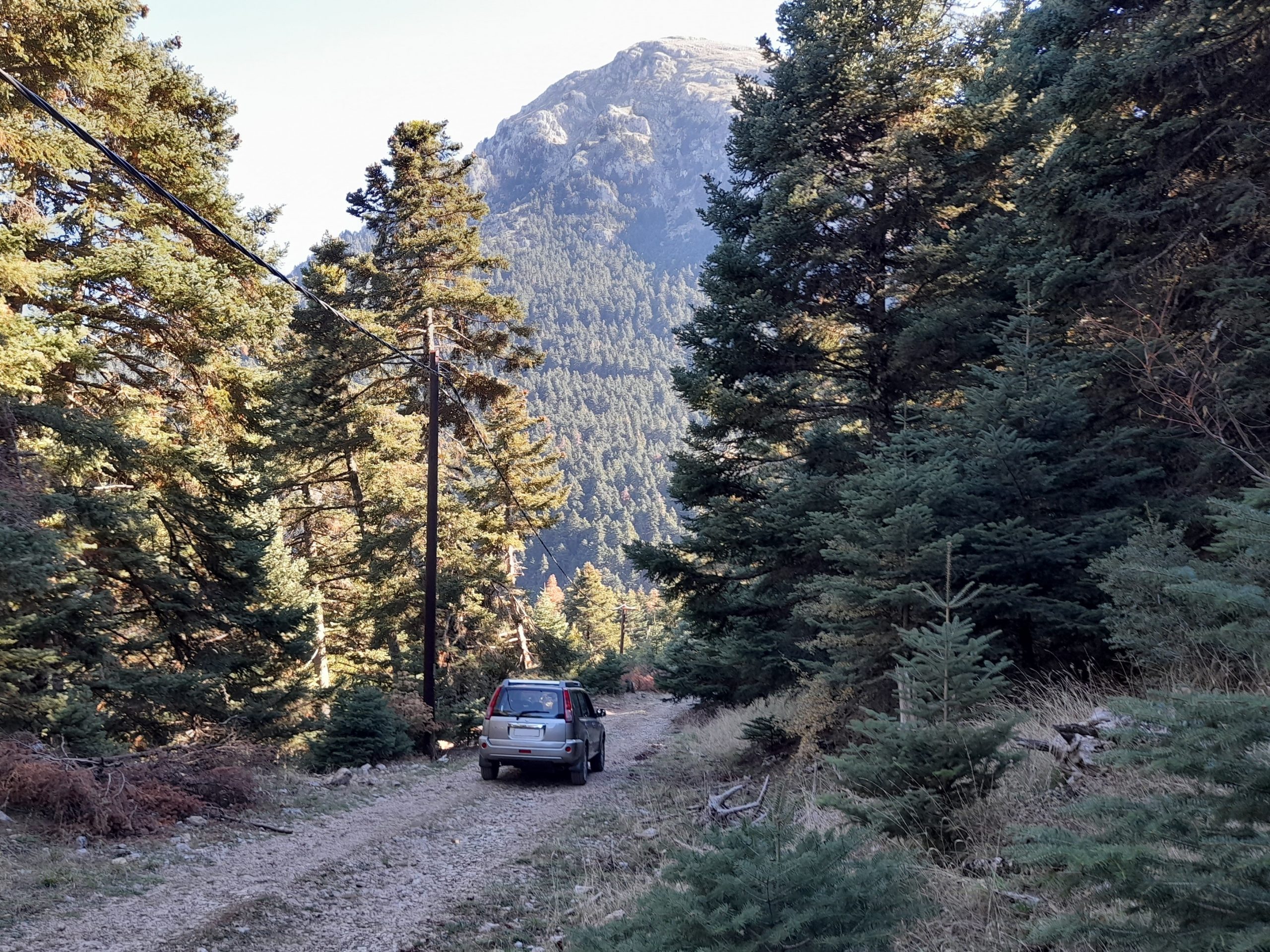
Oligirtos is a mountain located between Ziria and Mainalo. This trail starts near Kastania. The road till the col is firm and rocky. From the col to the chapel and then to Lafka, the terrain is more loose and becomes muddy during winter. Driving this trail, you pass through dense fir forest, and you enjoy view of Ziria, Aroania and the valley of Feneos.
Trail length: 17 km
Trail width: very narrow to normal
Trail difficulty: medium
Trail altitudes:
start: 1.069m
highest: 1.578m at the col
chapel: 1.176m
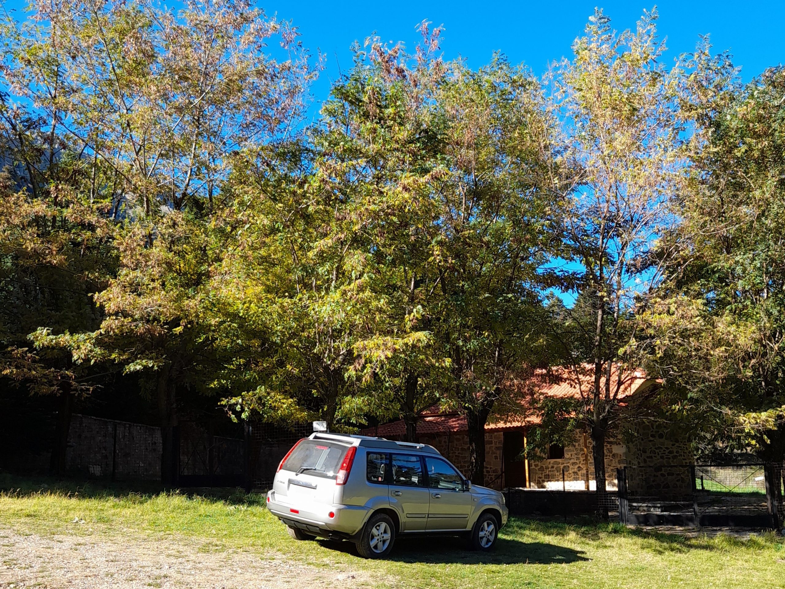
End and lowest: 750m at Lafka
Map of part 1, Kastania to the chapel:
Map of part 2, from the chapel to Lafka:
Photos of the trail:
In car video of the trail:
Leave a Reply