Geraneia, top of the mountain
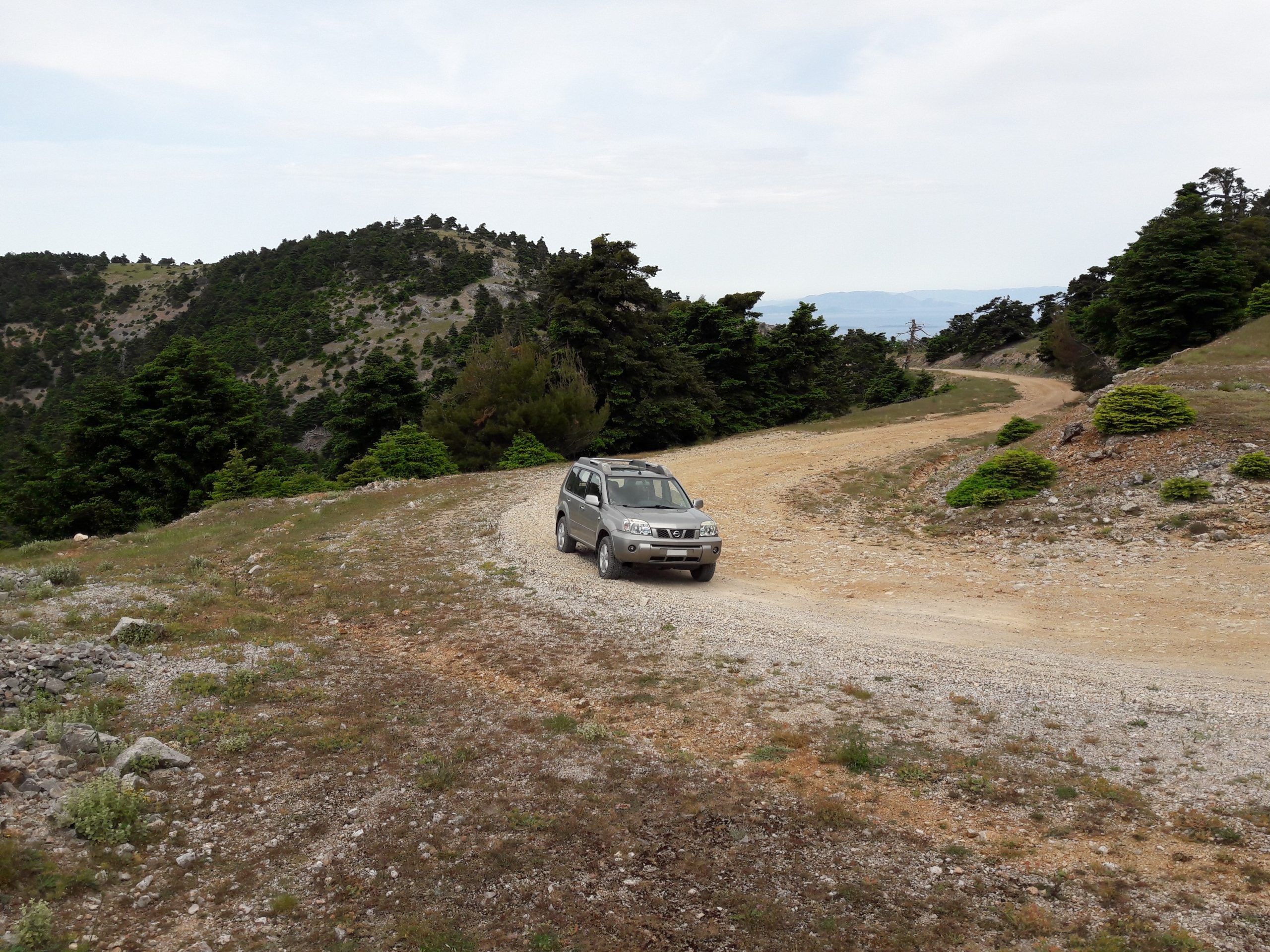
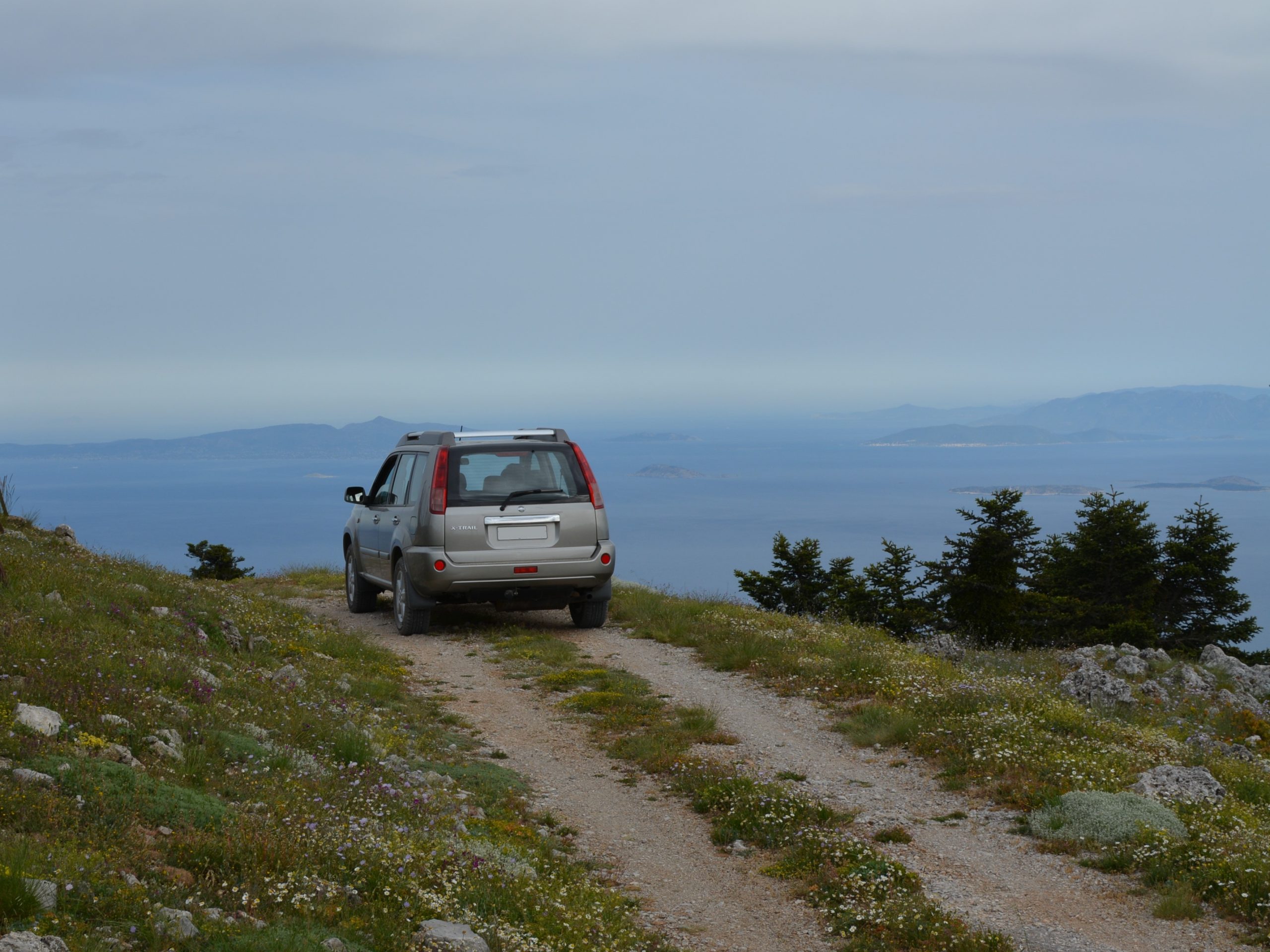
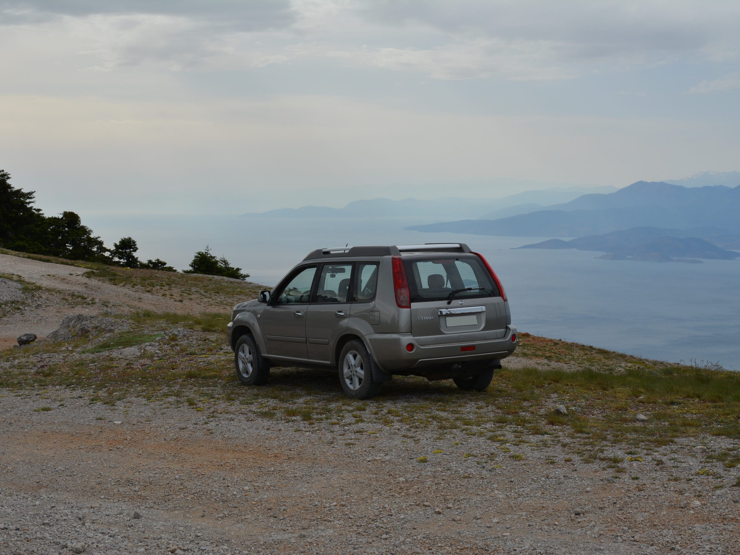
This is an easy trail that leads almost to the top of the mountain. The trail stops at the communications tower of OTE. From there, the view is great. The Saronic Gulf to the east, and the Corinthian Gulf to the west. Unfortunatelly, the results of last years’ wildfires can be seen at some points of the trail. But at the higher altitudes, there are still firs. This trail is also enjoyable when it snows. During summer months, watch out for agressive herd dogs at the middle of the trail.
Trail length: 12.4 km
Trail width: Very wide
Trail difficulty: Easy
Trail altitudes:
Start and lowest: 481m
End and also highest: 1.342m
Photos of the trail:
Short in car video clip of the trail ( dry in May and snowcovered in January ) :
Map of the trail:
Leave a Reply