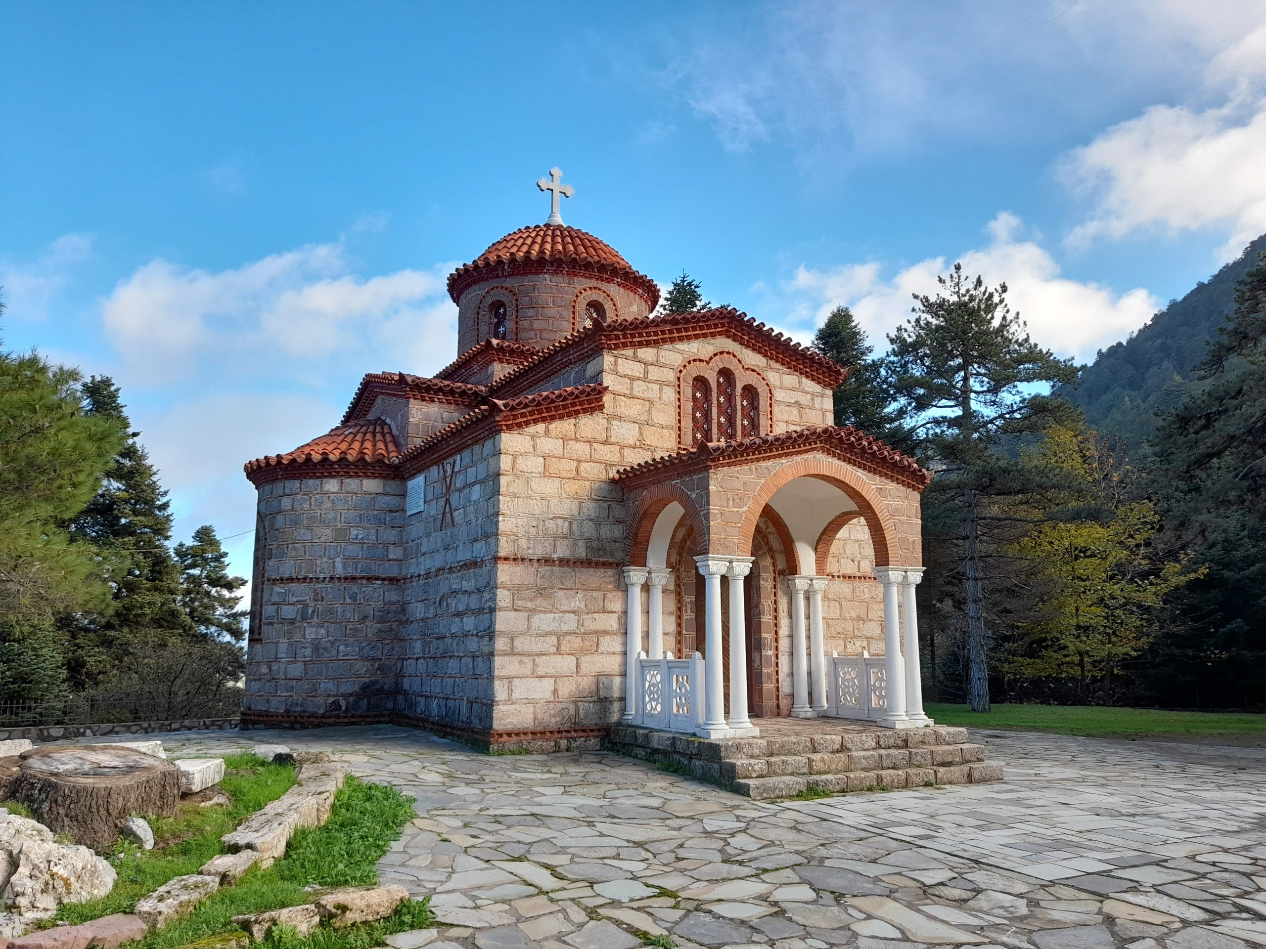
Mount Kantili, Agios Athanassios & Metamorfossi tou Sotiros
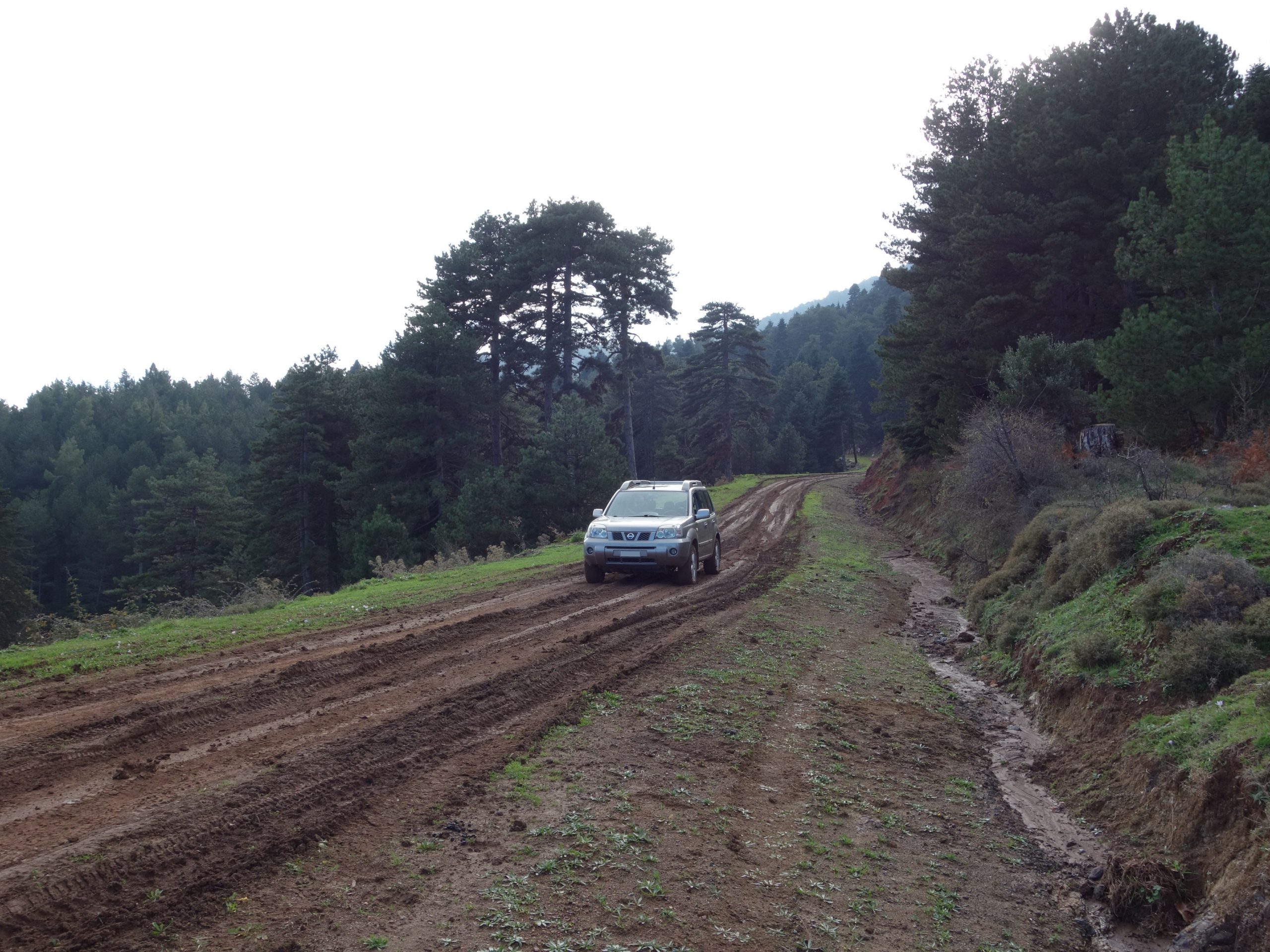
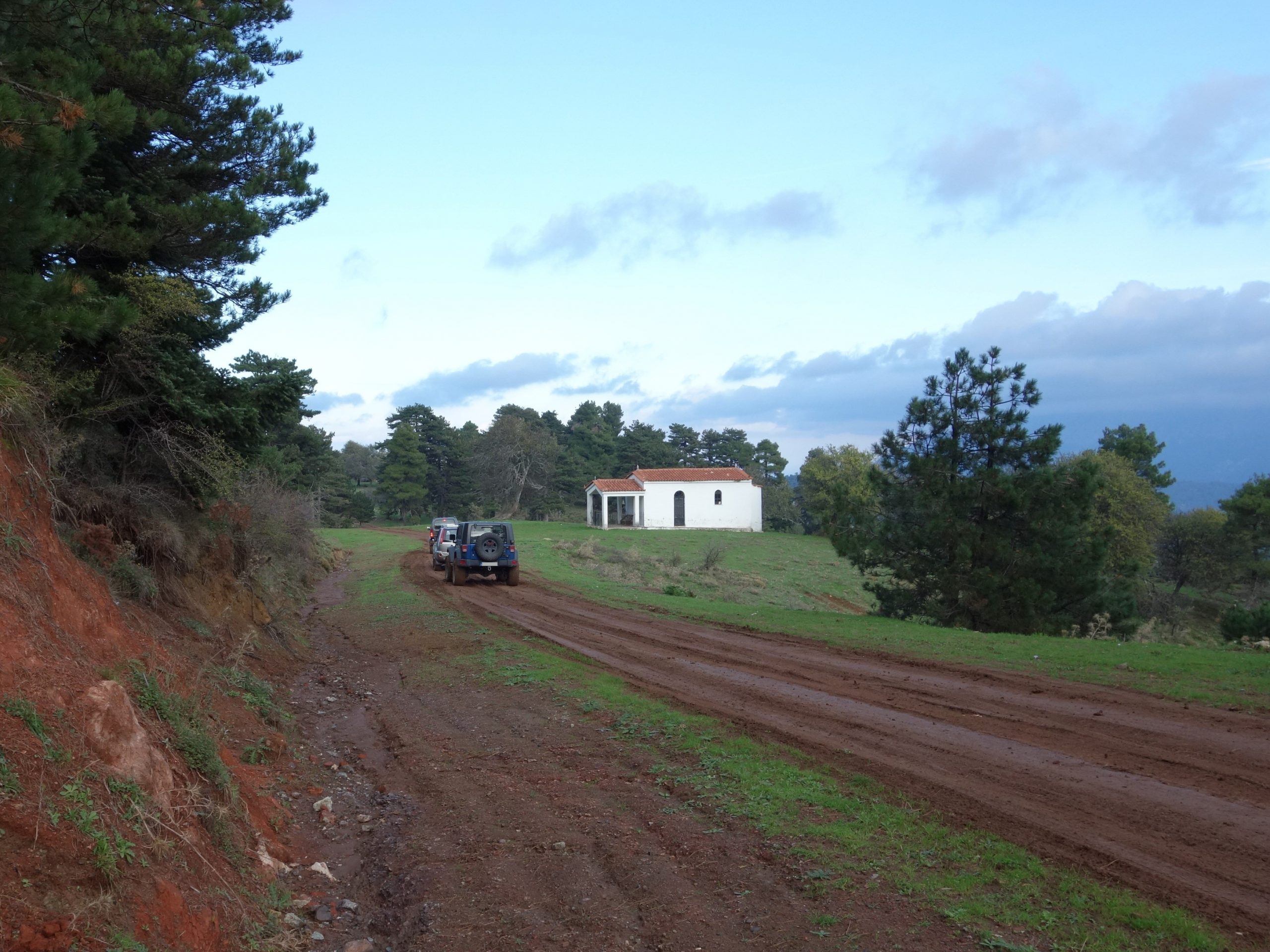
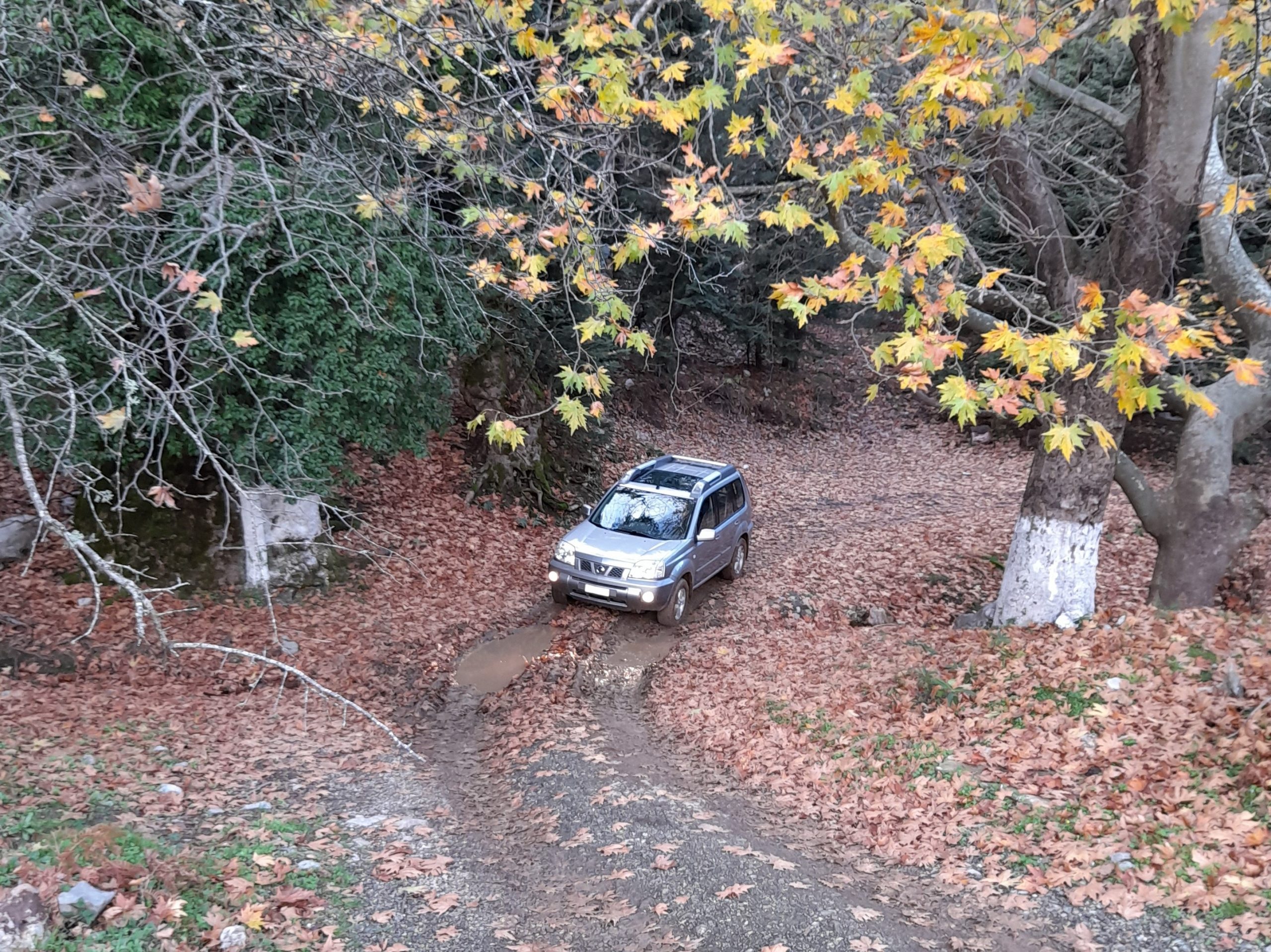
This is a trail through the beautiful forests of Mount Kantili, in North Evia. The first part of the trail, to Agios Athanassios, begins 30 km northwest of Chalkida, and is wide and easy, but becomes muddy during winter. The second part is more difficult, narrow with deep ruts. From Metamorfossi tou Sotiros you can go to the village of Prokopi.
Trail length: 23 km
Trail width: Part one wide to very wide, parts two and three, normal to narrow
Trail difficulty: Part one medium, parts two and three difficult
Trail altitudes:
Start: 610m
Agios Athanassios: 638m
Metamorfossi tou Sotiros: 600m
Highest: 815m, between Agios Athanassios and Metamorfossi tou Sotiros
Εnd: Prokopi: 65m
Map of the first part, to Agios Athanassios:
Map of the second part, from Agios Athanassios to Metamorfossi tou Sotiros:
Map of part three, from Metamorfossi tou Sotiros to Prokopi:
Photos of the trails:
Video of the trail:
Leave a Reply