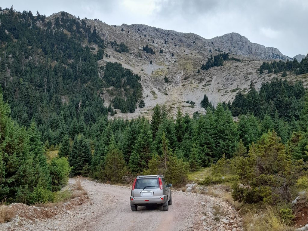
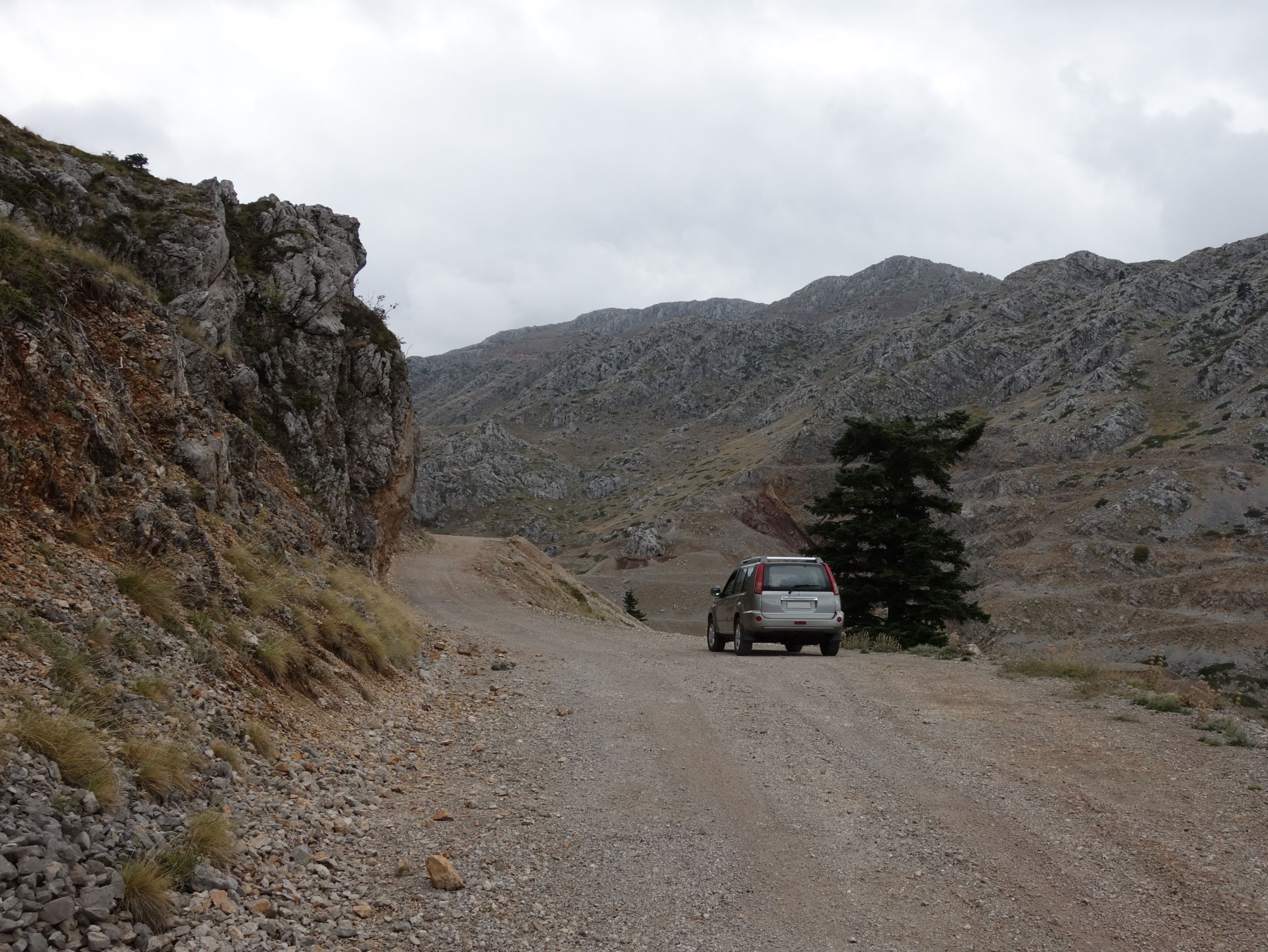
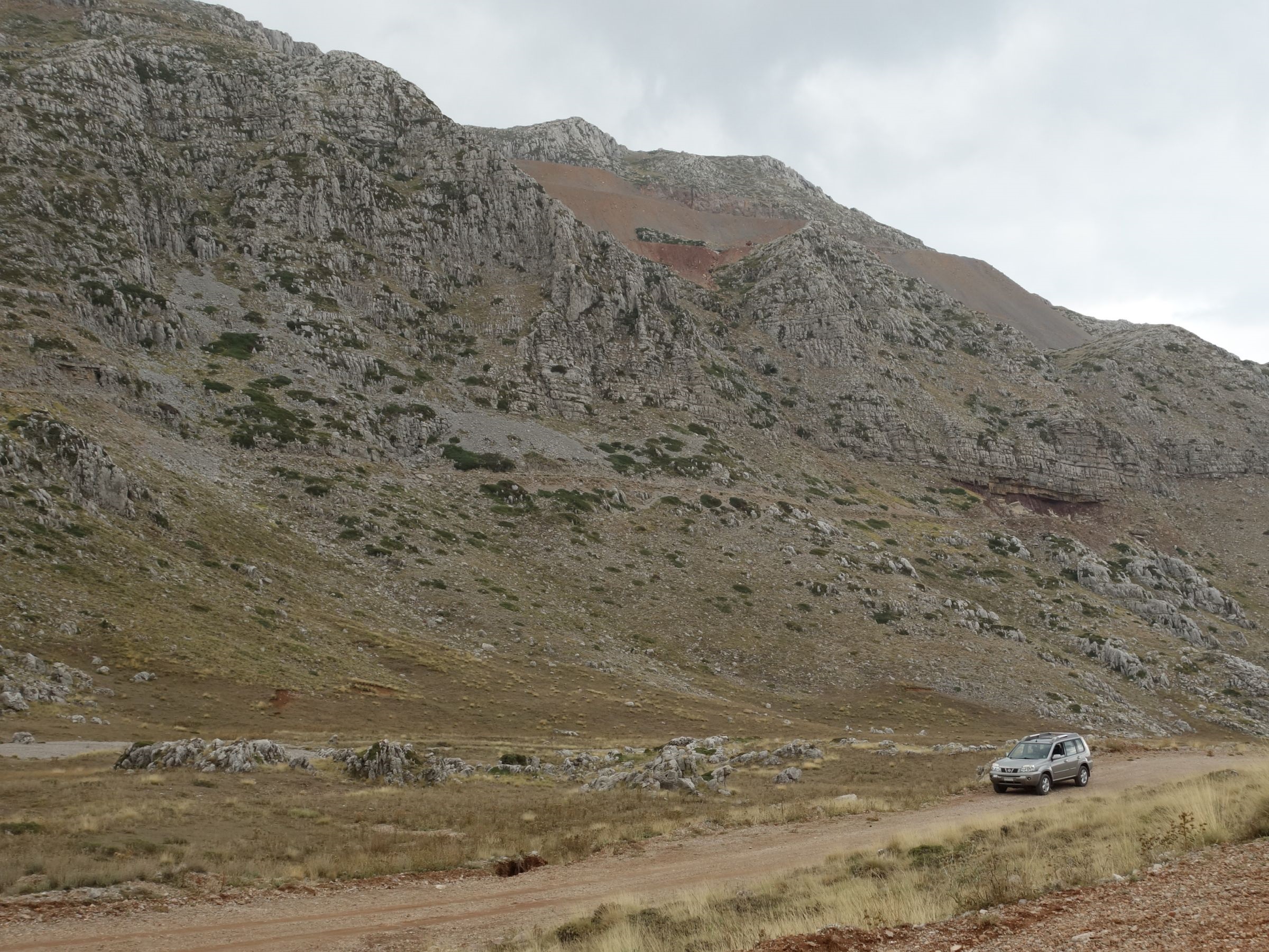
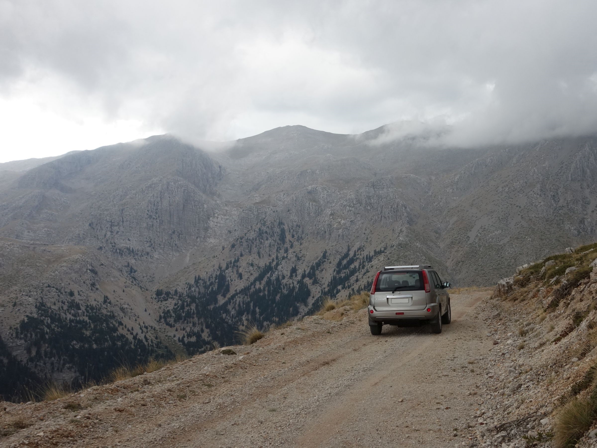
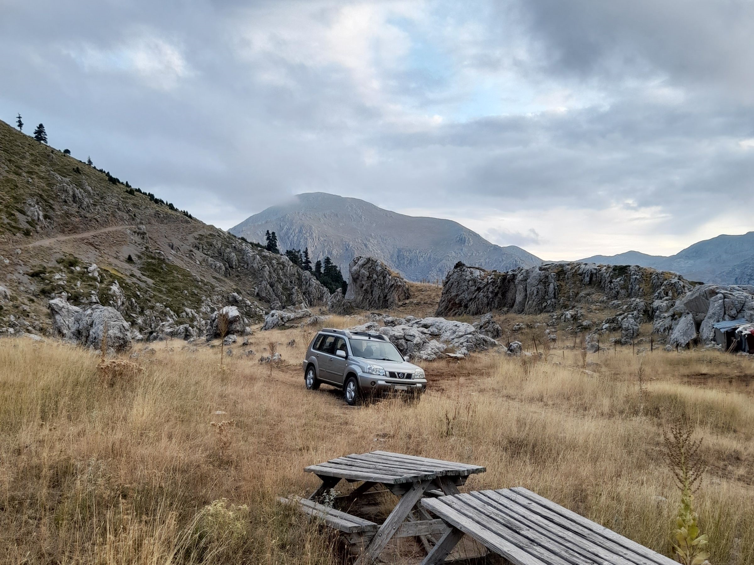
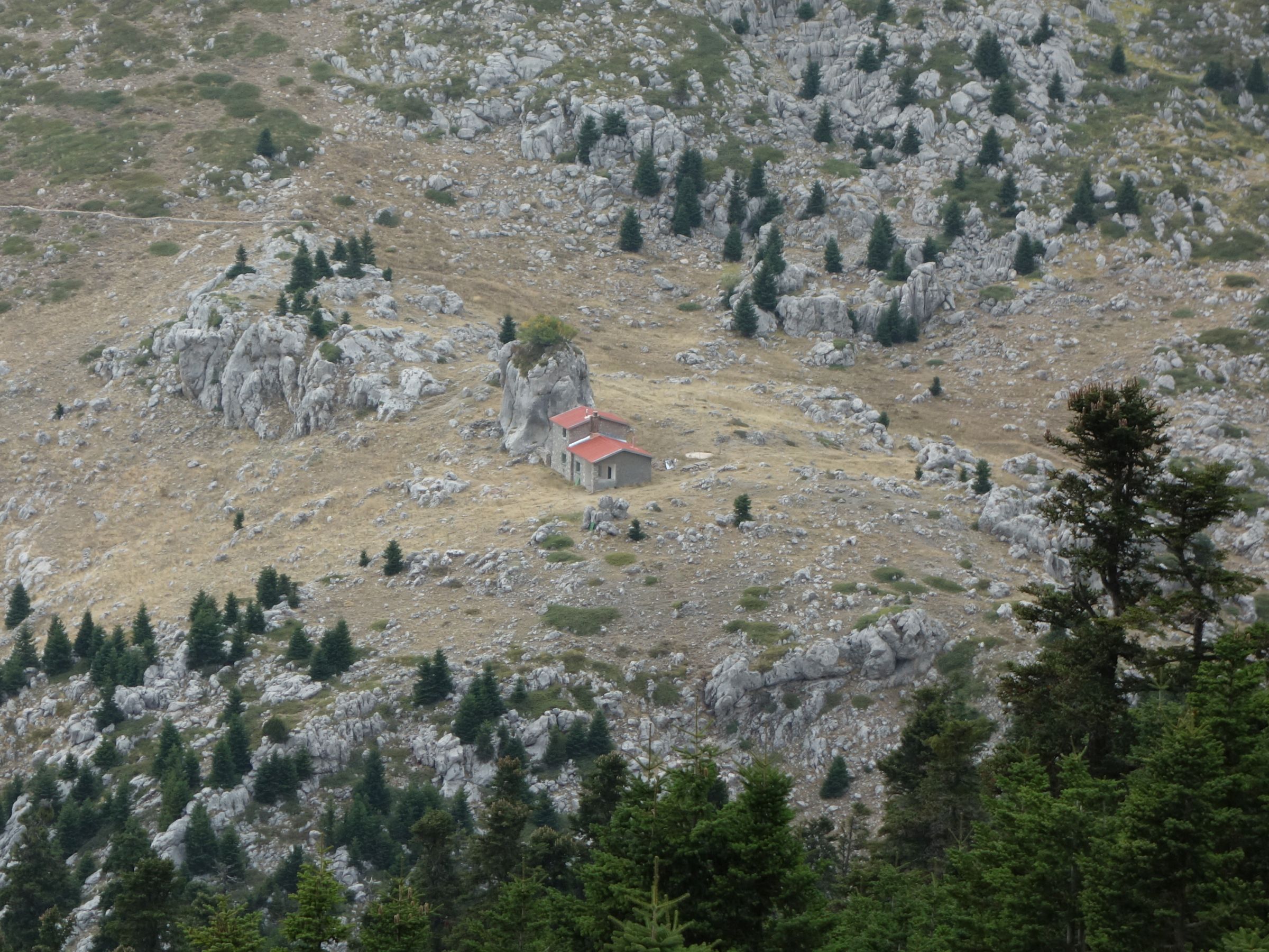
Gkiona mountain shelter from Kaloskopi
This is a long trail that starts near the village of Kaloskopi, passes through a fir forest and then through the alpine zone of Gkiona and ends near the mountain shelter. The road is a dead end. From the end of the road, if you want to reach the shelter, you have to walk 20 minutes ( less than 1 km ) on a not very easy hiking path, marked with yellow signs on the rocks. During winter, due to high altitude, the road is unpassable. During summer, for the last 400 meters of the roads, on your way back you will most likely need 4wd as the ground is loose and the incline is steep. On the way you can enjoy views of the cities of Lamia and Itea.
Trail lenght: 21 km
Trail width: from narrow to very wide
Trail difficulty: medium
Trail altitudes:
Start: 1.146 m
End: 1.832 m
Lowest: 1.146 m ( start )
Highest: 2.062 m
Photos of the trail and the shelter seen from the trail:
Short in-car video of the trail:
Map of the trail:
Leave a Reply